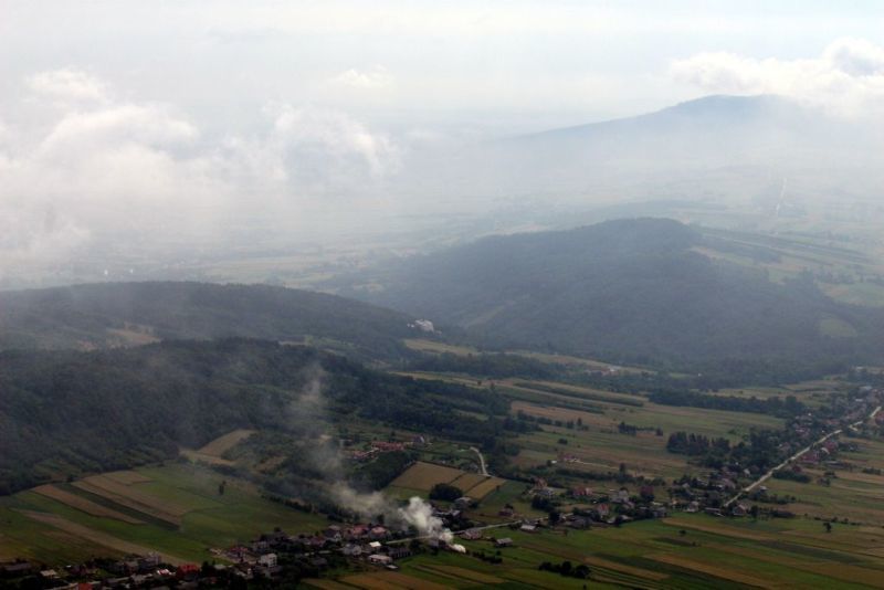
Świętokrzyskie Mountains
Practical Information
- Detailed InformationZwińRozwiń
- Object type:
- Protected landscape
- County:
- kielecki
- Community:
- Nowa Słupia
- Address:
- -
- Tourist region:
- Kielce Region
- Końskie Region
- Ostrowiec Świętokrzyski Region
- Organizer name:
- Head Office and Educational Center of the Świętokrzyski NP
- Organizer data:
- 26-010 Bodzentyn, ul. Suchedniowska 4
- Phone:
- +48 41 311 51 06
- fax:
- +48 41 311 51 06
- Website:
- www.swietokrzyskipn.org.p
Description

The Świętokrzyski region is a real geological trove, or an open book from which we can learn a lot about the history of our planet. The Świętokrzyskie Mountains occupy the central part of the region; although not the highest and not the biggest in Poland, they enchant visitors with the diversity of their geological structure. Additionally, the region is rich in many other geological curiosities such as monuments and reserves of inanimate nature. The Świętokrzyski region with its wealth of geological structures is a real paradise for nature lovers who can admire unusual forms and shapes of rock and land formations and willingly listen to various legends and fantastic stories. Here one can see caves, grottoes, outcrops, rocks and rock agglomerations, erratic boulders, and other geological formations with names referring to their paradise-like of hell-like associations.
The Świętokrzyskie Mountains are known for their boulder fields, otherwise called stone rubble, rock debris or rock waste, which came into being due to weathering of quartzitic sandstone under the influence of climatic conditions. The biggest boulder fields are found in the heart of the Łysogóry range on the slopes of Mt Łysa Góra near the Święty Krzyż monastery. They carry the name of Roman Kobendza, the first botanist to describe the flora of the boulder fields, and can be admired from a special viewing platform.
A bit smaller boulder fields are found near the top of the region"s highest Mt Łysica (612 m) and in the Śzczytnik nature reserve. The latter one is a good example of the rock rubble being gradually invaded by plants. Lichens and mosses are followed by rowan and spruce trees and eventually rock debris are overgrown with a real forest. Boulder fields can also be seen in the nature reserves of Góra Jeleniowska and Małe Gołoborze.
Gołoborze, or Boulder fields
According to legend witches were flying onto Mt Łysa Góra in order to practice wizardry during their witches" sabbath. Devils were also there to take part in the dances, but they were greatly disturbed by the presence of the nearby monastery buildings. In order to destroy the monastery, they brought lots of stones in a huge canvas to drop them onto the holy place. One of the monks was awoken by the noise and thinking that it was the time for morning prayers, he rang the bells. The sound of the bells deafened the devils; they dropped the canvas with stones on the mountain slope and thus the boulder fields were created.

